
The Great Edo Metropolis
Urban development in Edo / Edo no Taihen (great pivotal events of Edo) / Great-Edo MapThe beginning of Edo as castle town
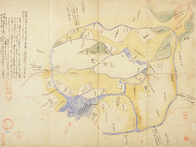
(Keichō Edo Zu) 1845 (Kōka 2)
The city of Edo was arranged as castle town surrounding the Edo castle. City development was arranged using Ōshū Kaidō, the route leading out from "Ōtemon (Tokiwabashimon)", as the main road. Based on the example of Kyoto, the Tokugawa Shogunate arranged the land and streets in a grid style allocating different areas around the castle for samurai families, areas for temples and shrines, and areas for townsfolk.
The most important of all the town planning projects was the opening of waterway named "Dōsan-bori" (it does not exist anymore but it used to be located at around today's Ōtemachi). The towns such as Zaimokucho, Funacho,
Yokkaichicho and Yanagicho were
constructed along the Dōsan-bori in the early stages of the town planning project. By Kan-ei era (1624-1644), approximately 300 settlements emerged after the demarcation.
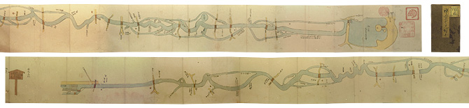
Furthermore, the Tokugawa Shogunate commissioned the construction of an irrigation system to secure water for residents who lived near Edo Castle. Infrastructural development advanced at a rapid pace with the building of aqueducts such as Kanda Aqueduct (Kanda Jōsui) and Tamagawa Aqueduct (Tamagawa Jōsui). The former was arranged to supply water from a pond called Inokashira-ike (Located in Mitaka City), while the latter took water from Hamura weir (Located in present day Hamura City)
* To view more explanation, please click the each image.